


North + Southamerica
North + Southamerica
In this category you will find maps of North America and South America and of Central America, Mexico and the West Indies from the National Geographic Atlas issue 8/10. With these maps which are available with a physical or political map image, you can select your desired map section. We then print your very own map digitally and in high resolution. So you get a very individual personal card. Our maps are available in various designs: as a poster in paper form, laminated on both sides or as a framed pinboard or magnetic wall.
-
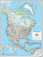 North America Map 73 x 91cm
Starting at €49.90
-
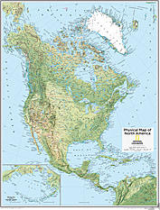 North America Physical 73 x 91cm
Starting at €49.90
-
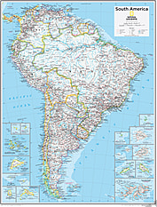 South America 73 x 91cm
Starting at €49.90
-
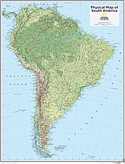 South America Physical 73 x 91cm
Starting at €49.90
-
 Central America 91 x 73cm
Starting at €49.90
-
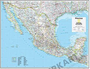 Mexico Map 73 x 91cm
Starting at €49.90
-
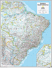 Eastern South America 73 x 91cm
Starting at €49.90
-
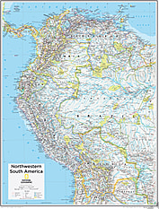 Northwestern South America 73 x 91cm
Starting at €49.90
-
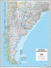 Southern South America 73 x 91cm
Starting at €49.90
-
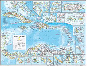 West Indies 91 x 73cm
Starting at €49.90
-
 Amazon Regions 91 x 73cm
Starting at €49.90
Contact
Feel free to contact us for any special wishes or questions.
Contact person:
