


National Geographic historical maps
Shop By
National Geographic historical maps
National Geographic has brought home the world since 1888. The first maps appeared in a magazine issue of 1889, and the first map supplement for NG Magazine was published in 1917. Since then, we have continued to provide maps that report on current events, provide special insights into historical events, and provide information about our world and our environment.
-
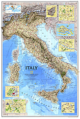 1995 Italy Map 56 x 84cm
Starting at €49.90
-
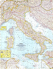 1961 Italy Map 48 x 63cm
Starting at €34.90
-
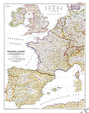 1950 Western Europe Map 76 x 96cm
Starting at €49.90
-
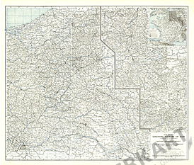 1918 The Western Theatre Of War Map 84 x 71cm
Starting at €49.90
-
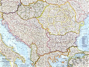 1962 The Balkans Map 63 x 48cm
Starting at €34.90
-
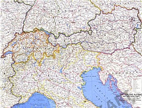 1965 Switzerland, Austria and Northern Italy Map 63 x 48cm
Starting at €34.90
-
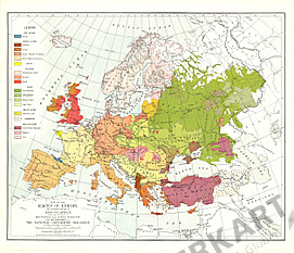 1918 Races Of Europe Map 63 x 56cm
Starting at €34.90
-
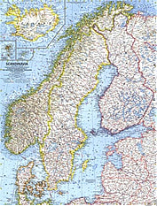 1963 Scandinavia Map 48 x 63cm
Starting at €34.90
-
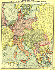 1914 New Balkan States And Central Europe 46 x 58cm
Starting at €34.90
-
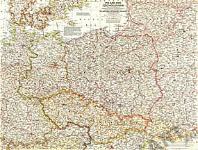 1958 Poland and Czechoslovakia Map 63 x 48cm
Starting at €34.90
-
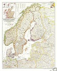 1954 Northern Europe Map 76 x 94cm
Starting at €49.90
-
 1982 Mediterranean Seafloor Map 94 x 57cm
Starting at €49.90
- 1979 British Isles Map 57 x 74cm
Starting at €49.90
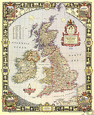
- 1958 British Isles Map 48 x 63cm
Starting at €34.90
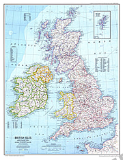
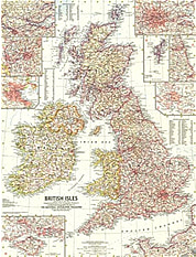
- 1949 British Isles Map 66 x 81cm
Starting at €49.90
- 1974 Travelers Map Of The British Isles Side 1 58 x 82cm
Starting at €49.90
- 1959 Western Soviet Union Map 48 x 63cm
Starting at €34.90
- 1981 Historic Ireland Map 35 x 52cm
Starting at €34.90
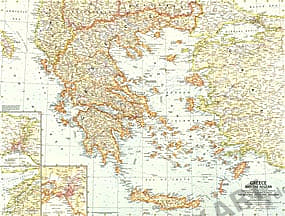
- 1958 Greece And The Aegean Map 63 x 48cm
Starting at €34.90
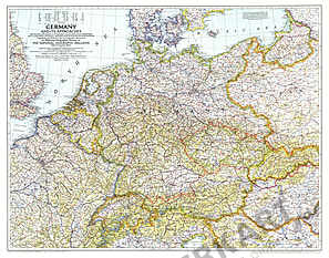
- 1959 Germany Map 48 x 63cm
Starting at €34.90
- NEW1944 Germany And Its Approaches Map 1938-39 85 x 66cm
Starting at €49.90
- 1960 France, Belgium And The Netherlands Map 48 x 63cm
Starting at €49.90
- 1989 France Map 51 x 79cm
Starting at €49.90
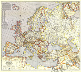
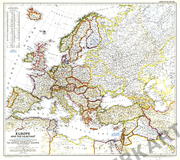
- 1943 Europe And The Near East Map 98 x 86cm
Starting at €69.90
- 1929 Europe and the Near East Map 98 x 86cm
Starting at €69.90
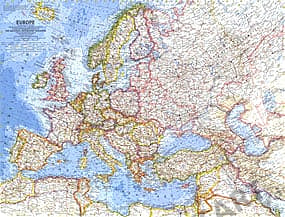
- 1969 Europe Map 67 x 76cm
Starting at €69.90
- 1962 Europe Map 63 x 48cm
Starting at €34.90
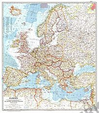
- 1957 Europe Map 74 x 84cm
Starting at €49.90
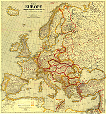
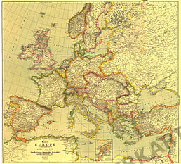
- 1921 Europe Map 79 x 84cm
Starting at €49.90
- 1940 Europe And The Near East Map 98 x 86cm
Starting at €69.90
- 1938 Europe And The Mediterranean Map 96 x 86cm
Starting at €69.90
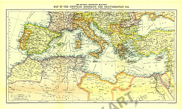
- 1912 Countries Bordering The Mediterranean Sea Map 48 x 29cm
Starting at €34.90
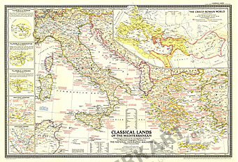
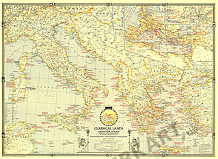
- 1949 Classical Lands Of The Mediterranean Map 81 x 56cm
Starting at €49.90
- 1940 Classical Lands Of The Mediterranean Map 89 x 64cm
Starting at €49.90
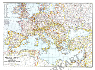
- 1939 Central Europe And The Mediterranean Map 94 x 70cm
Starting at €49.90
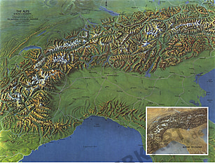
- 1965 Alps - Europes Backbone Map 63 x 48cm
Starting at €34.90
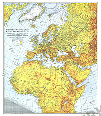
- 1942 Theater Of War In Europe, Africa and Western Asia Map 67 x 79cm
Starting at €49.90
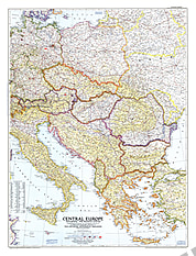
- NEW1951 Central Europe Map 76 x 99cm
Starting at €69.90
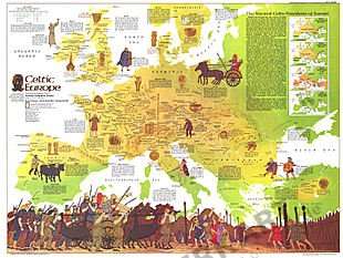
- 1977 Celtic Europe Map 76 x 57cm
Starting at €49.90
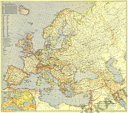
- 1949 Europe And The Near East Map 81 x 71cm
Starting at €49.90
- 1977 Europe Map 57 x 76cm
Starting at €49.90
- 1915 Europe Map With Africa And Asia 71 x 79cm
Starting at €49.90
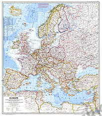
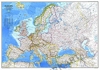
- 1983 Europe Map 109 x 76cm
Starting at €69.90
- 1962 Southern Africa Map 48 x 63cm
Starting at €34.90
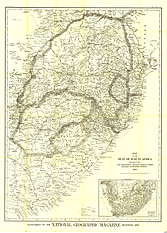
- 1899 Seat Of War in Africa 89 x 124cm
Starting at €69.90


Contact
Feel free to contact us for any special wishes or questions.
Contact person:
