


National Geographic historical maps
Shop By
National Geographic historical maps
National Geographic has brought home the world since 1888. The first maps appeared in a magazine issue of 1889, and the first map supplement for NG Magazine was published in 1917. Since then, we have continued to provide maps that report on current events, provide special insights into historical events, and provide information about our world and our environment.
-
 1966 Northwestern Africa Map 63 x 48cm
Starting at €34.90
-
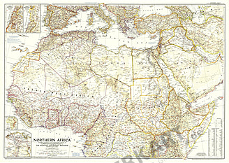 NEW1954 Northern Africa Map 104 x 74cm
Starting at €69.90
-
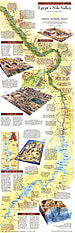
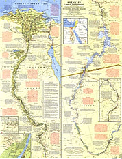 1965 Nile Valley, Land Of The Pharaohs Map 48 x 63cm
Starting at €34.90
-
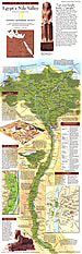
 1965 Nile Valley, Land Of The Pharaohs Map 63 x 48cm
Starting at €34.90
-
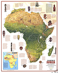 1971 Heritage Of Africa 57 x 71cm
Starting at €49.90
-
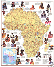 1971 Ethnolinguistic Map Of The Peoples Of Africa 57 x 71cm
Starting at €49.90
-
 1995 Egypts Nile Valley South Map 25 x 79cm
Starting at €34.90
-
 1995 Egypts Nile Valley North Map 25 x 79cm
Starting at €34.90
-
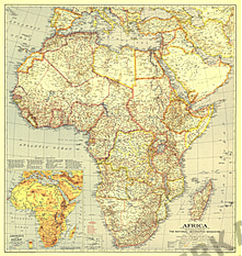
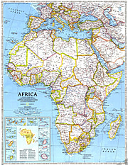
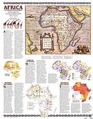 1980 Africa, Its Political Development Map 58 x 74cm
Starting at €49.90
-
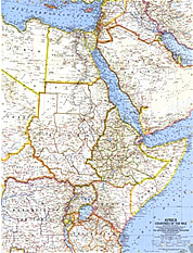 1963 Africa, Countries Of The Nile Map 48 x 63cm
Starting at €34.90
-
 1990 Africa Threatened Map 56 x 72cm
Starting at €49.90
-
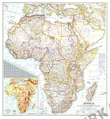
 1980 Africa Map 58 x 74cm
Starting at €49.90
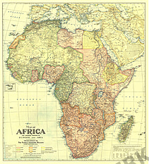
- 1943 Africa Map 75 x 79cm
Starting at €49.90
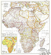
- 1935 Africa Map 75 x 79cm
Starting at €49.90
- 1922 Africa Map with Portions Of Europe And Asia 72 x 80cm
Starting at €49.90
- 1950 Africa And The Arabian Peninsula Map 71 x 79cm
Starting at €49.90
- 1960 Africa Map 48 x 63cm
Starting at €34.90
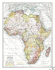
- 1909 Africa Map 43 x 54cm
Starting at €34.90
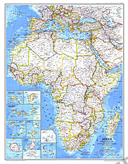
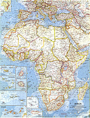
- 1990 Africa Map 51 x 72cm
Starting at €49.90
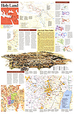
- 1989 Holy Land Map Side 2 51 x 79cm
Starting at €49.90
- 1989 Holy Land Map Side 1 51 x 79cm
Starting at €49.90
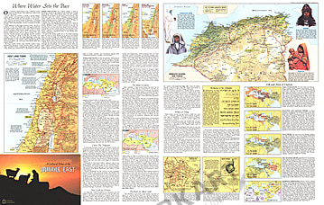
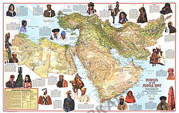
- 1972 Peoples Of The Middle East Side 2 90 x 57cm
Starting at €49.90
- 1972 Peoples Of The Middle East Side 1 90 x 57cm
Starting at €49.90
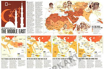
- 1980 Two Centuries Of Conflict In The Middle East 52 x 35cm
Starting at €34.90
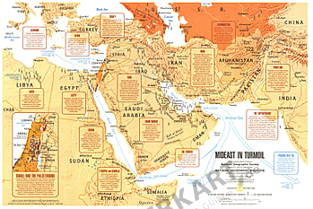
- 1980 Mideast In Turmoil Map 52 x 35cm
Starting at €34.90
- 1991 Middle East: States In Turmoil Map 51 x 62cm
Starting at €34.90
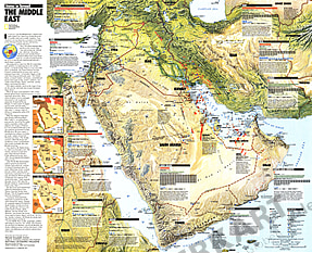
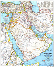
- 1991 The Middle East Map 51 x 62cm
Starting at €34.90
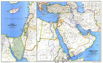
- 1978 The Middle East Map 94 x 58cm
Starting at €49.90
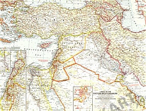
- 1959 Lands Of The Eastern Mediterranean Map 63 x 48cm
Starting at €34.90
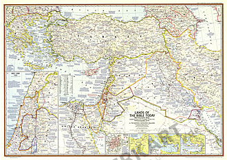
- 1967 Lands Of The Bible Today 104 x 74cm
Starting at €49.90
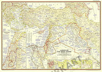
- 1956 Lands Of The Bible Today 104 x 74cm
Starting at €49.90
- 1996 Jerusalem: The Old City Map 39 x 51cm
Starting at €34.90
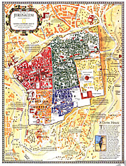
- 1996 Jerusalem Map 39 x 51cm
Starting at €34.90
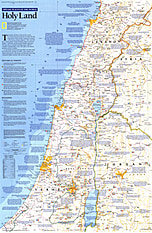
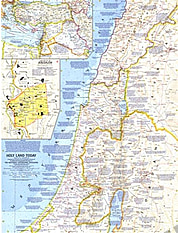
- NEW1963 Holy Land Today 48 x 63cm
Starting at €34.90
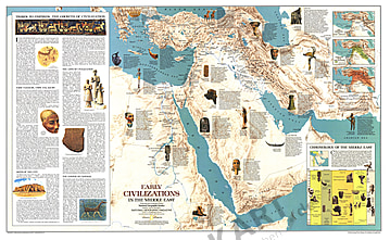
- 1978 Early Civilizations In The Middle East Map 94 x 58cm
Starting at €49.90
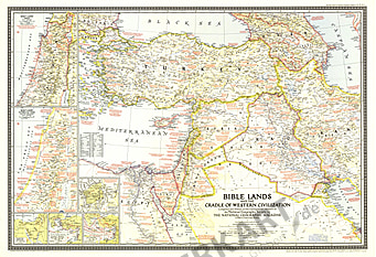
- 1946 Bible Lands And The Cradle Of Western Civilization Map 81 x 56cm
Starting at €49.90
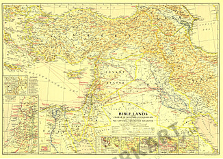
- 1938 Bible Lands 87 x 62cm
Starting at €49.90
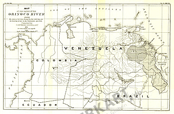
- 1896 Valley Of The Orinoco River Map 43 x 28cm
Starting at €34.90
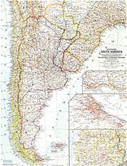
- 1958 Southern South America Map 48 x 64cm
Starting at €34.90
- NEW1992 South America Map 51 x 71cm
Starting at €34.90
- 1972 South America Map 58 x 76cm
Starting at €49.90
- 1960 South America Map 48 x 63cm
Starting at €34.90
- 1950 South America Map 74 x 102cm
Starting at €49.90
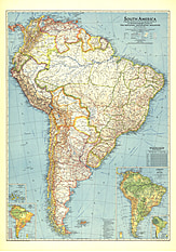
- 1942 South America Map 70 x 99cm
Starting at €49.90
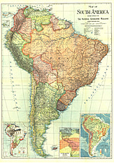
- 1921 South America Map 66 x 94cm
Starting at €49.90


Contact
Feel free to contact us for any special wishes or questions.
Contact person:
