


National Geographic historical maps
Shop By
National Geographic historical maps
National Geographic has brought home the world since 1888. The first maps appeared in a magazine issue of 1889, and the first map supplement for NG Magazine was published in 1917. Since then, we have continued to provide maps that report on current events, provide special insights into historical events, and provide information about our world and our environment.
-
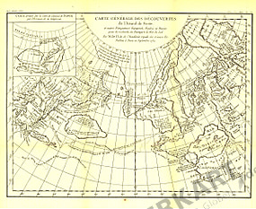 1892 Discovery Map of Admiral de Fonte 40 x 33cm
Starting at €34.90
-
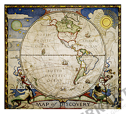 1929 Map of Discovery: Western Hemisphere 47 x 42cm
Starting at €34.90
-
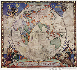 1928 Map of Discovery - Eastern Hemisphere 47 x 42cm
Starting at €34.90
-
 1964 Shakespeare's Britain Map 48 x 63cm
Starting at €34.90
-
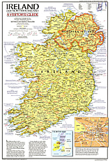 1981 Ireland And Northern Ireland Visitors Guide Map 35 x 52cm
Starting at €34.90
-
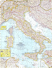 1961 Italy Map 48 x 63cm
Starting at €34.90
-
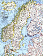 1963 Scandinavia Map 48 x 63cm
Starting at €34.90
-
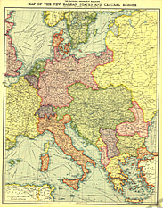 1914 New Balkan States And Central Europe 46 x 58cm
Starting at €34.90
-
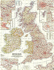 1958 British Isles Map 48 x 63cm
Starting at €34.90
-
 1959 Western Soviet Union Map 48 x 63cm
Starting at €34.90
-
 1981 Historic Ireland Map 35 x 52cm
Starting at €34.90
-
 1959 Germany Map 48 x 63cm
Starting at €34.90
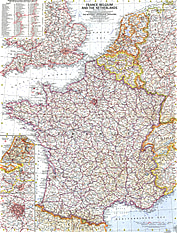
- 1960 France, Belgium And The Netherlands Map 48 x 63cm
Starting at €49.90
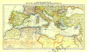
- 1912 Countries Bordering The Mediterranean Sea Map 48 x 29cm
Starting at €34.90
- 1962 Southern Africa Map 48 x 63cm
Starting at €34.90
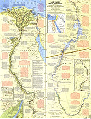
- 1965 Nile Valley, Land Of The Pharaohs Map 48 x 63cm
Starting at €34.90
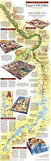
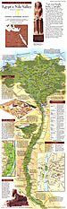
- 1995 Egypts Nile Valley South Map 25 x 79cm
Starting at €34.90
- 1995 Egypts Nile Valley North Map 25 x 79cm
Starting at €34.90
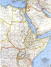
- 1963 Africa, Countries Of The Nile Map 48 x 63cm
Starting at €34.90
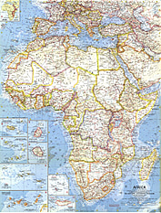
- 1960 Africa Map 48 x 63cm
Starting at €34.90
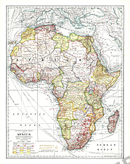
- 1909 Africa Map 43 x 54cm
Starting at €34.90
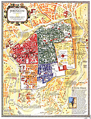
- 1996 Jerusalem: The Old City Map 39 x 51cm
Starting at €34.90
- 1996 Jerusalem Map 39 x 51cm
Starting at €34.90
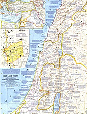
- NEW1963 Holy Land Today 48 x 63cm
Starting at €34.90
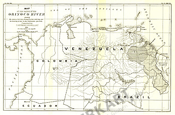
- 1896 Valley Of The Orinoco River Map 43 x 28cm
Starting at €34.90
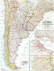
- 1958 Southern South America Map 48 x 64cm
Starting at €34.90
- 1960 South America Map 48 x 63cm
Starting at €34.90
- 1964 Northwestern South America Map 48 x 64cm
Starting at €34.90
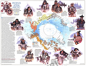
- 1983 Peoples Of The Arctic 48 x 58cm
Starting at €34.90
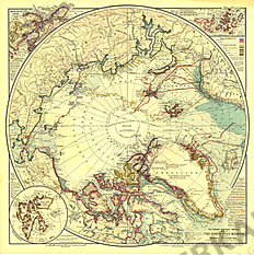
- 1907 North Pole Regions Map 48 x 48cm
Starting at €34.90
- 1968 Atlantic Ocean Map 48 x 63cm
Starting at €34.90
- 1968 Atlantic Ocean Floor Map 48 x 63cm
Starting at €34.90
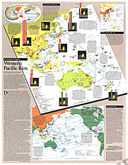
- 1989 Western Pacific Rim Map 49 x 63cm
Starting at €34.90
- 1965 Vietnam, Cambodia, Laos And Eastern Thailand Map 28 x 52cm
Starting at €34.90
- 1965 Vietnam, Cambodia, Laos And Eastern Thailand Index Map 28 x 52cm
Starting at €34.90
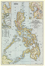
- 1945 Philippines Map 44 x 66cm
Starting at €34.90
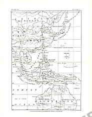
- 1900 Philippines Map 25 x 32cm
Starting at €34.90
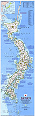
- 1984 Japan Map 28 x 94cm
Starting at €49.90
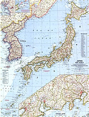
- 1960 Japan And Korea Map 48 x 63cm
Starting at €34.90
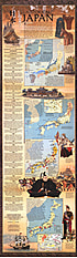
- 1984 Historical Japan Map 28 x 94cm
Starting at €34.90
- 1964 China Map 48 x 63cm
Starting at €34.90
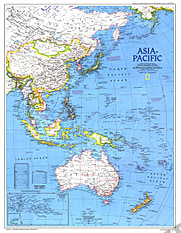
- 1989 Asia Pacific Map 49 x 63cm
Starting at €34.90
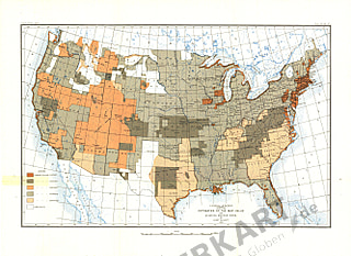
- 1892 United States Of America Map 48 x 43cm
Starting at €34.90
- 1962 Eastern South America Map 48 x 64cm
Starting at €34.90
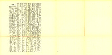
- 1906 Cuba Map Index 34 x 71cm
Starting at €34.90


Contact
Feel free to contact us for any special wishes or questions.
Contact person:
