


National Geographic historical maps
Shop By
National Geographic historical maps
National Geographic has brought home the world since 1888. The first maps appeared in a magazine issue of 1889, and the first map supplement for NG Magazine was published in 1917. Since then, we have continued to provide maps that report on current events, provide special insights into historical events, and provide information about our world and our environment.
-
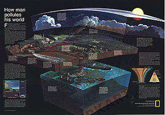 1970 How Man Pollutes His World Map 107 x 73cm
Starting at €69.90
-
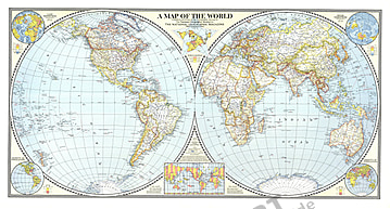
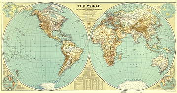
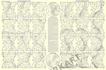
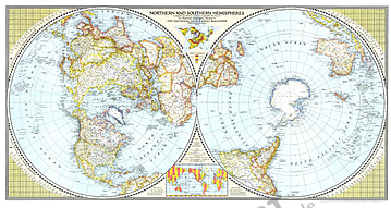 1943 Northern and Southern Hemispheres 104 x 56cm
Starting at €49.90
-
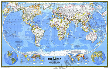
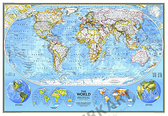 1994 World Political Map 109 x 76cm
Starting at €69.90
-
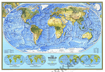 1994 World Physical Map 109 x 76cm
Starting at €69.90
-
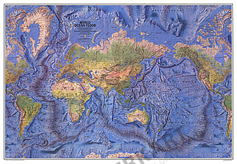 1981 World Map Ocean Floor 106 x 73cm
Starting at €69.90
-
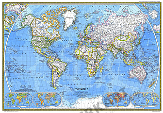
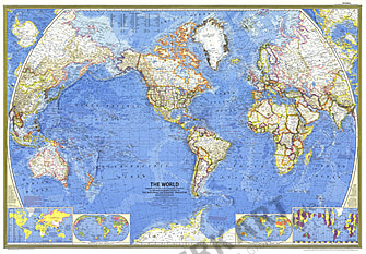
 1988 World Map 117 x 73cm
Starting at €69.90
-
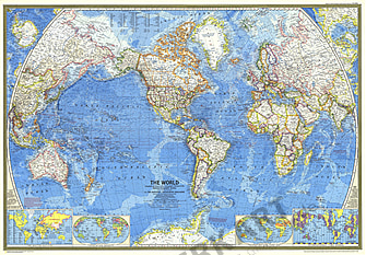
 1981 World Map 106 x 73cm
Starting at €69.90
-
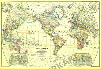
 1970 World Map 106 x 73cm
Starting at €69.90
-
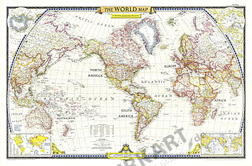
 1965 World Map 106 x 75cm
Starting at €69.90
-
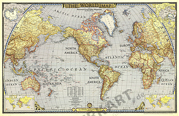
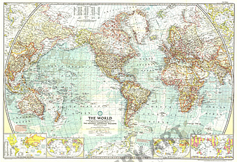
 1951 World Map 106 x 70cm
Starting at €69.90
-
 1943 World Map 104 x 66cm
Starting at €49.90
-
 1941 World Map 107 x 57cm
Starting at €49.90
- 1935 World Map 110 x 58cm
Starting at €49.90
- 1957 World Map 106 x 73cm
Starting at €69.90
- 1922 World Map 105 x 71cm
Starting at €69.90
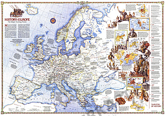
- 1983 History Of Europe, The Major Turning Points 109 x 76cm
Starting at €69.90
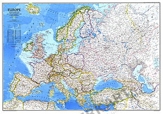
- 1983 Europe Map 109 x 76cm
Starting at €69.90
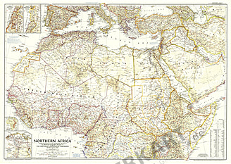
- NEW1954 Northern Africa Map 104 x 74cm
Starting at €69.90
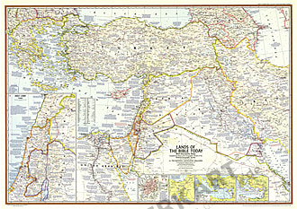
- 1967 Lands Of The Bible Today 104 x 74cm
Starting at €49.90
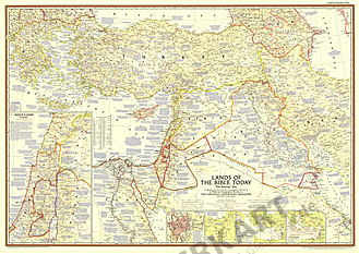
- 1956 Lands Of The Bible Today 104 x 74cm
Starting at €49.90
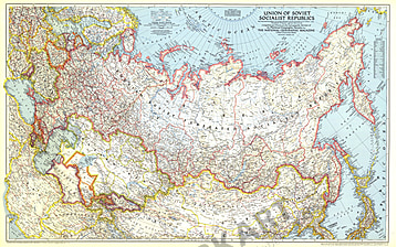
- 1944 Union Of Soviet Socialist Republics Map 103 x 66cm
Starting at €49.90
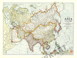
- 1921 Map Of Asia With Europe And Africa 102 x 76cm
Starting at €69.90
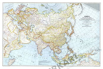
- 1942 Asia And Adjacent Areas Map 103 x 69cm
Starting at €49.90
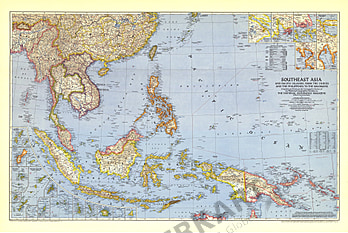
- 1944 Southeast Asia and the Pacific Islands 106 x 71cm
Starting at €69.90
- 1993 Water Precious Resource Map 109 x 76cm
Starting at €69.90
- 1976 USA Portrait Map 108 x 75cm
Starting at €69.90
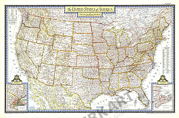
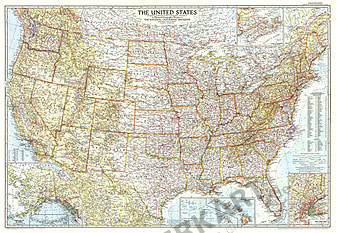
- 1951 United States Of America Map 107 x 70cm
Starting at €69.90
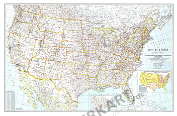
- 1946 United States Of America Map 104 x 67cm
Starting at €69.90
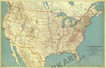
- 1940 United States Of America Map 105 x 67cm
Starting at €69.90
- 1933 United States Of America Map 103 x 66cm
Starting at €49.90
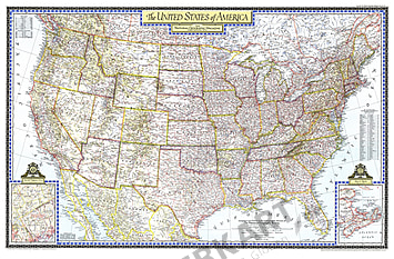
- 1956 United States Of America Map 107 x 74cm
Starting at €69.90
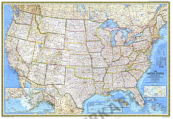
- 1993 United States Map 109 x 76cm
Starting at €69.90
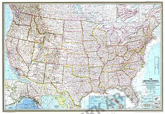
- 1987 United States Map 107 x 74cm
Starting at €69.90
- 1976 United States of America (USA) 108 x 75cm
Starting at €69.90
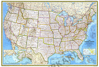
- 1968 United States Map 108 x 75cm
Starting at €69.90
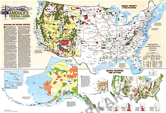
- 1982 United States Federal Lands Map 108 x 74cm
Starting at €69.90
- 1987 Territorial Growth Of The United States Map 107 x 74cm
Starting at €69.90
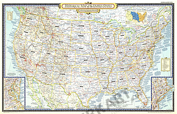
- 1953 Historical Map Of The United States Map 104 x 67cm
Starting at €49.90
- 1982 Americas Federal Lands Map 108 x 74cm
Starting at €69.90
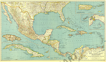
- 1934 Mexico, Central America And The West Indies Map 102 x 61cm
Starting at €49.90
- 1902 Philippines North Military Telegraph Lines Map 102 x 85cm
Starting at €69.90
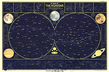
- 1957 Heavens Map Side 1 - 107 x 71cm
Starting at €69.90
- 1969 Earth Moon 107 x 71cm
Starting at €69.90
- 1957 Heavens Map Side 2 - 107 x 71cm
Starting at €69.90
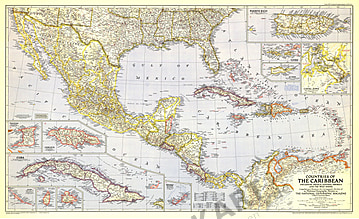
- 1947 Countries Of The Caribbean Map 104 x 63cm
Starting at €49.90


Contact
Feel free to contact us for any special wishes or questions.
Contact person:
