


National Geographic historical maps
National Geographic historical maps
National Geographic has brought home the world since 1888. The first maps appeared in a magazine issue of 1889, and the first map supplement for NG Magazine was published in 1917. Since then, we have continued to provide maps that report on current events, provide special insights into historical events, and provide information about our world and our environment.
-
 1972 Physical Map Of South America 58 x 76cm
Starting at €49.90
-
 1964 Northwestern South America Map 48 x 64cm
Starting at €34.90
-
 1982 Archaelogy Of South America Map 94 x 57cm
Starting at €49.90
-
 1988 Travelers Look At Australia 69 x 51cm
Starting at €34.90
-
 1941 Indian Ocean Map 81 x 61cm
Starting at €49.90
-
 1974 Discoverers Of The Pacific Map 94 x 57cm
Starting at €49.90
-
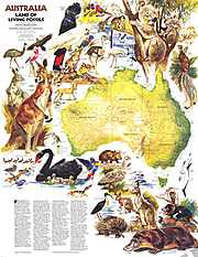 1979 Australia, Land Of Living Fossils Map 57 x 73cm
Starting at €49.90
-
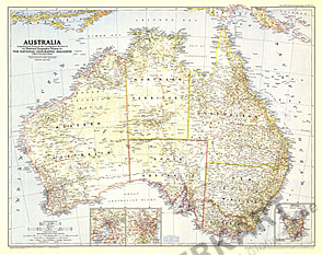
 1979 Australia Map 74 x 57cm
Starting at €49.90
-
 1963 Australia Map 63 x 48cm
Starting at €34.90
-
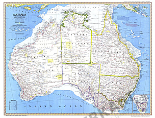
 1948 Australia Map 80 x 63cm
Starting at €49.90
-
 1988 Australia Continental Odyssey Map 69 x 51cm
Starting at €34.90
-
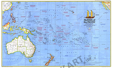
 1974 Islands Of The Pacific Maps 94 x 57cm
Starting at €49.90
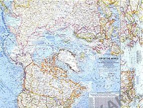
- 1965 Top Of The World 63 x 48cm
Starting at €34.90
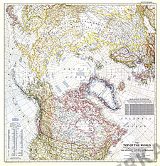
- 1949 Top Of The World Map 71 x 74cm
Starting at €49.90
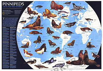
- 1987 Pinnipeds Around The World 76 x 53cm
Starting at €49.90
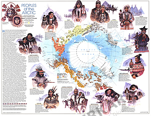
- 1983 Peoples Of The Arctic 48 x 58cm
Starting at €34.90
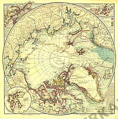
- 1907 North Pole Regions Map 48 x 48cm
Starting at €34.90
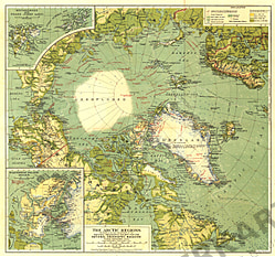
- 1925 Arctic Regions Map 51 x 48cm
Starting at €34.90
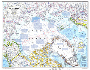
- 1983 Arctic Ocean Map 75 x 58cm
Starting at €49.90
- 1971 Arctic Ocean Map 63 x 48cm
Starting at €34.90
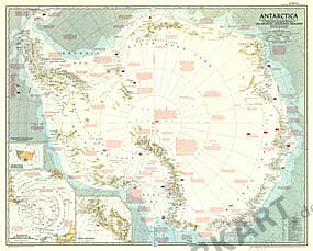
- 1987 Antarctica Map 76 x 53cm
Starting at €49.90
- 1963 Antarctica Map 63 x 48cm
Starting at €34.90
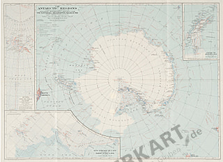
- 1957 Antarctica Map 91 x 74cm
Starting at €49.90
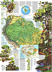
- 1992 Amazonia, A World Resource At Risk Map 51 x 71cm
Starting at €34.90
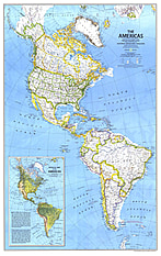
- 1979 The Americas Map 57 x 91cm
Starting at €49.90
- 1932 Antarctic Regions Map 66 x 48cm
Starting at €34.90
- 1971 Arctic Ocean Floor Map 63 x 48cm
Starting at €34.90
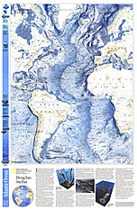
- 1990 Atlantic Ocean Floor Map 51 x 79cm
Starting at €49.90
- 1990 Arctic Ocean Floor Map 79 x 51cm
Starting at €49.90
- 1942 Theater Of War In The Pacific Ocean 69 x 31cm
Starting at €34.90
- 1903 Pilot Chart Of The North Atlantic Ocean Map 86 x 61cm
Starting at €49.90
- 1943 Pacific Ocean And The Bay Of Bengal Map 94 x 70cm
Starting at €49.90
- 1969 Pacific Ocean Map 63 x 48cm
Starting at €34.90
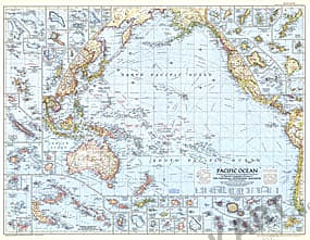
- 1952 Pacific Ocean Map 94 x 74cm
Starting at €49.90
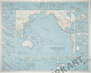
- 1936 Pacific Ocean Map 96 x 79cm
Starting at €49.90
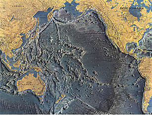
- 1969 Pacific Ocean Floor Map 63 x 48cm
Starting at €34.90
- 1962 Pacific Islands Map 63 x 48cm
Starting at €34.90
- 1962 New Zealand, New Guinea And The Principal Pacific Islands 63 x 48cm
Starting at €34.90
- 1992 Indian Ocean Map 79 x 51cm
Starting at €49.90
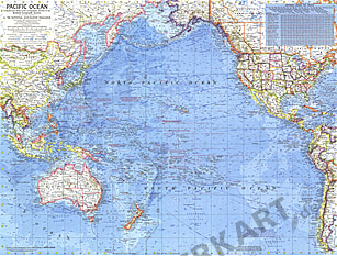
- 1992 Pacific Ocean Map 79 x 51cm
Starting at €49.90
- 1967 Indian Ocean Floor Map 63 x 48cm
Starting at €34.90
- 1968 Atlantic Ocean Map 48 x 63cm
Starting at €34.90
- 1968 Atlantic Ocean Floor Map 48 x 63cm
Starting at €34.90
- 1955 Atlantic Ocean Map 71 x 99cm
Starting at €49.90
- 1939 Atlantic Ocean Map 62 x 79cm
Starting at €49.90


Contact
Feel free to contact us for any special wishes or questions.
Contact person:
