


National Geographic historical maps
National Geographic historical maps
National Geographic has brought home the world since 1888. The first maps appeared in a magazine issue of 1889, and the first map supplement for NG Magazine was published in 1917. Since then, we have continued to provide maps that report on current events, provide special insights into historical events, and provide information about our world and our environment.
-
 1991 China Map Side 2 - 56 x 74cm
Starting at €49.90
-
 1991 China Map Side 1 - 74 x 56cm
Starting at €49.90
-
 1964 China Map 48 x 63cm
Starting at €34.90
-
 1945 China Map 93 x 66cm
Starting at €49.90
-
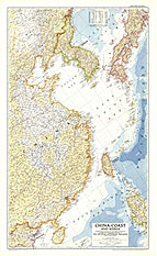 1953 China Coast And Korea Map 66 x 107cm
Starting at €49.90
-
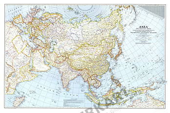 1942 Asia And Adjacent Areas Map 103 x 69cm
Starting at €49.90
-
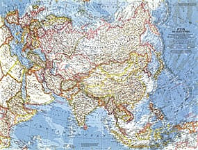
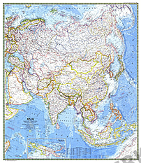 1971 Asia Map 83 x 95cm
Starting at €69.90
-
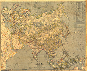 1933 Asia Map 94 x 77cm
Starting at €49.90
-
 1959 Asia And Adjacent Areas Map 64 x 48cm
Starting at €34.90
-
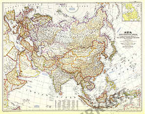 1951 Asia And Adjacent Areas Map 69 x 74cm
Starting at €49.90
-
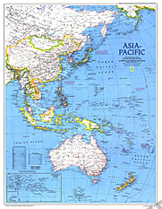 1989 Asia Pacific Map 49 x 63cm
Starting at €34.90
-
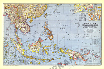
 1944 Southeast Asia and the Pacific Islands 106 x 71cm
Starting at €69.90
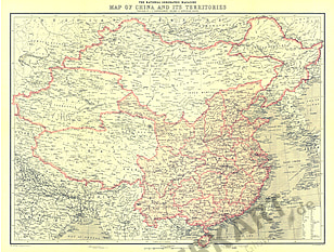
- 1912 Map Of China And Its Territories 58 x 43cm
Starting at €34.90
- 1993 Water Precious Resource Map 109 x 76cm
Starting at €69.90
- 1966 Vacationlands Of The United States And Canada Map 96 x 66cm
Starting at €49.90
- 1976 USA Portrait Map 108 x 75cm
Starting at €69.90
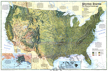
- 1996 United States Physical Landscape Map 79 x 51cm
Starting at €49.90
- 1961 United States Of America Map 63 x 48cm
Starting at €34.90
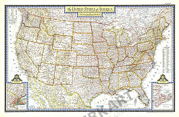
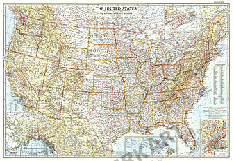
- 1951 United States Of America Map 107 x 70cm
Starting at €69.90
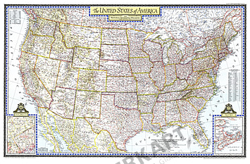
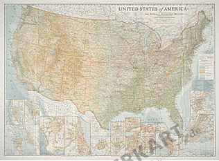
- 1946 United States Of America Map 104 x 67cm
Starting at €69.90
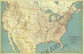
- 1940 United States Of America Map 105 x 67cm
Starting at €69.90
- 1933 United States Of America Map 103 x 66cm
Starting at €49.90
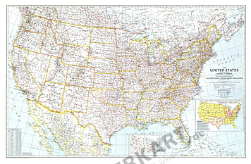
- 1956 United States Of America Map 107 x 74cm
Starting at €69.90
- 1923 United States Of America Map 96 x 71cm
Starting at €49.90
- 1892 United States Of America Map 48 x 43cm
Starting at €34.90
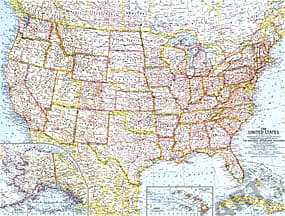
- 1993 United States Map 109 x 76cm
Starting at €69.90
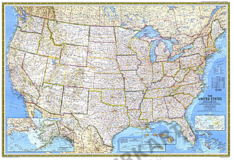
- 1987 United States Map 107 x 74cm
Starting at €69.90
- 1976 United States of America (USA) 108 x 75cm
Starting at €69.90
- 1968 United States Map 108 x 75cm
Starting at €69.90
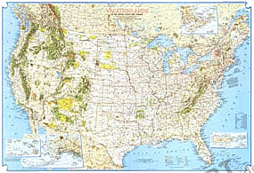
- 1996 United States Federal Lands Map 79 x 51cm
Starting at €49.90
- 1982 United States Federal Lands Map 108 x 74cm
Starting at €69.90
- 1987 Territorial Growth Of The United States Map 107 x 74cm
Starting at €69.90
- 1991 Native American Heritage Map 74 x 51cm
Starting at €49.90
- 1958 National Parks USA Map Side 2 - 64 x 48cm
Starting at €34.90
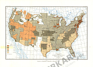
- 1953 Historical Map Of The United States Map 104 x 67cm
Starting at €49.90
- 1982 Americas Federal Lands Map 108 x 74cm
Starting at €69.90
- 1934 Mexico, Central America And The West Indies Map 102 x 61cm
Starting at €49.90
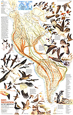
- 1979 Bird Migration In The Americas Map 57 x 91cm
Starting at €49.90
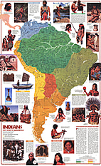
- 1982 Indians Of South America Map 57 x 94cm
Starting at €49.90
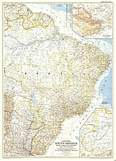
- 1962 Eastern South America Map 48 x 64cm
Starting at €34.90
- 1955 Eastern South America Map 74 x 102cm
Starting at €69.90
- 1984 Making Of America Far West Map Side 1 - 52 x 69cm
Starting at €34.90
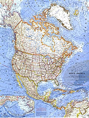
- 1964 North America Map 91 x 65cm
Starting at €49.90
- 1902 Philippines North Military Telegraph Lines Map 102 x 85cm
Starting at €69.90
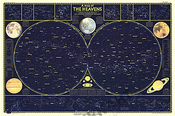
- 1957 Heavens Map Side 1 - 107 x 71cm
Starting at €69.90


Contact
Feel free to contact us for any special wishes or questions.
Contact person:
